

1. Find nearby gauges
Open the Harris County Flood Warning System and search your address. Check nearby rainfall and water-level stations, the observation time, and the trend. Open rainfall and bayou gauges ↗
HOUSTON EMERGENCY PREPAREDNESS GUIDE
Prepare for flooding, hurricanes, extreme heat, severe wind, and winter outages. Explore local weather, find official resources, and build a household plan.
Harris County · Texas

For Houston residents, with Harris County and regional resources labeled. Verify the county and service providers for your address; nearby communities and other counties have their own instructions. Historical data and planning tools; check official sources for current conditions.
View sources ↗CHOOSE A STARTING POINT
01 / UNDERSTAND LOCAL RISKS
Compare monthly rainfall, typical temperatures, and days reaching 90°F. These airport averages help you schedule preparation; they are not a forecast.
Houston Intercontinental Airport · NOAA 1991–2020
Monthly averages, not a forecast. Rainfall includes the water equivalent of precipitation. Days reaching 90°F are not heat-index days.
| Month | High °F | Low °F | Rain inches | Days ≥90°F |
|---|---|---|---|---|
| January | 63.8 | 43.7 | 3.76 | 0 |
| February | 67.8 | 47.6 | 2.97 | 0 |
| March | 74 | 53.6 | 3.47 | 0.1 |
| April | 80.1 | 59.8 | 3.95 | 0.9 |
| May | 86.9 | 67.8 | 5.01 | 9.5 |
| June | 92.3 | 73.7 | 6 | 23.1 |
| July | 94.5 | 75.7 | 3.77 | 27.3 |
| August | 94.9 | 75.4 | 4.84 | 27.1 |
| September | 90.4 | 70.6 | 4.71 | 18.3 |
| October | 82.8 | 60.9 | 5.46 | 5 |
| November | 72.6 | 51.5 | 3.87 | 0 |
| December | 65.3 | 45.6 | 4.03 | 0 |
The station is Houston Intercontinental Airport, north of downtown. Conditions around the bay, farther inland, and inside homes can differ. The data describe 1991–2020; they are not measurements from this year. Use current NWS forecasts for day-to-day decisions.
02 / UNDERSTAND LOCAL RISKS
Houston flood planning starts close to home. A regional rainfall total cannot tell you whether a specific street or driveway is passable.
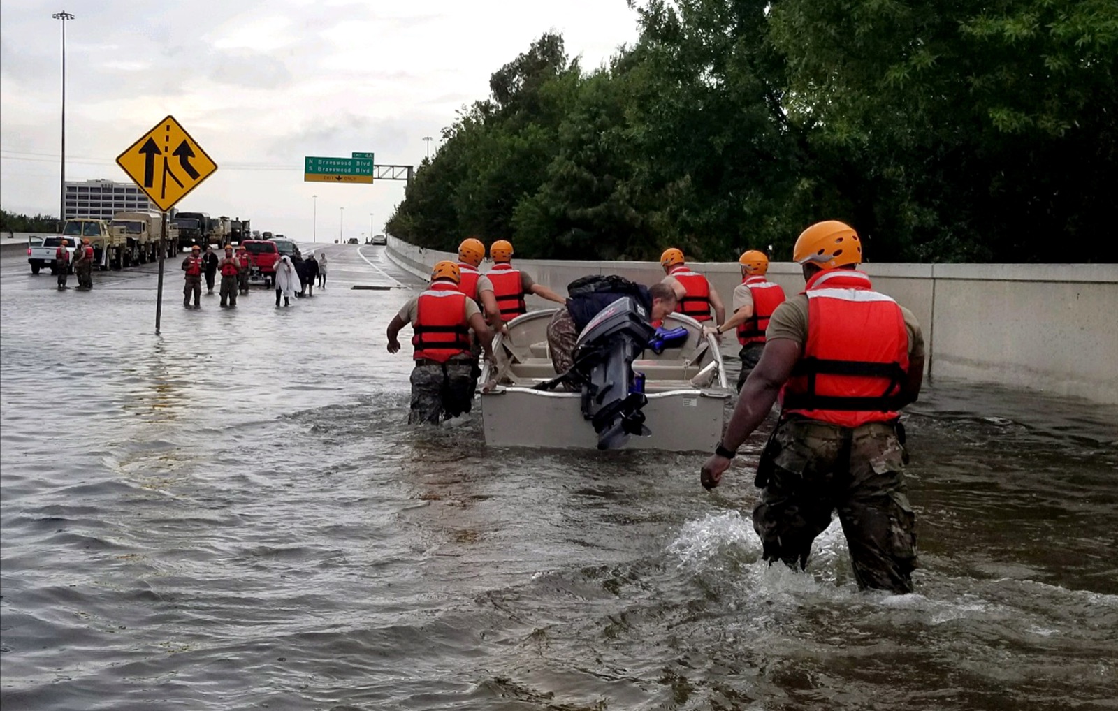
Open the Harris County Flood Warning System and search your address. Check nearby rainfall and water-level stations, the observation time, and the trend. Open rainfall and bayou gauges ↗
Use the Flood Control District’s mapping tools to identify the watershed and available floodplain information. Keep the property map separate from hurricane evacuation ZIP zones. Explore county flood maps ↗
Turn on High Water and Road Closures in Houston TranStar. A missing marker is not proof a road is safe. Follow closures and conditions in front of you. Open the traffic map ↗
Write down two routes to your usual destination before bad weather. Include the streets connecting your home to the highway, not just the freeway itself. For apartments, ask how garage exits, access gates, and ground-floor equipment work during flooding and power loss.
The county warning system offers optional rainfall and water-level notifications. Choose gauges relevant to your home and route; those alerts supplement official warnings and do not predict water depth at your building.
03 / UNDERSTAND LOCAL RISKS
June through November is the official Atlantic hurricane season. Houston households also need plans for inland rain, wind damage, and loss of power.
ReadyHarris recommends seven days of food and water for hurricane preparation. Start with an inventory, then fill the gaps for your household and pets. A seven-day supply is a planning target, not a prediction of how long restoration will take. Harris County hurricane preparation, 2026 ↗
Confirm the evacuation ZIP-zone map, a destination, transport, and a backup contact. Schedule building-maintenance questions with your landlord or association before a storm is approaching.
Read the current local instructions and forecast. Charge devices, bring loose outdoor items inside when it is safe, and keep documents and essential supplies accessible.
Follow the location and timing in the official order. Check the route and destination before departure; do not infer an evacuation instruction from this calendar.
Check Harris County instructions ↗ · NWS Houston/Galveston forecasts ↗
04 / BUILD YOUR EMERGENCY PLAN
Use the official regional map to check home and destination. An evacuation ZIP zone, a floodplain, and a city boundary answer different questions.
Open the regional evacuation ZIP-zone map ↗ · Find the map under ReadyHarris Resources ↗
Save a copy of the map before you need it. Record your ZIP zone if one is assigned and read the instructions for the actual event. The map supports hurricane evacuation planning; it does not show every place that can flood, and it is not an active evacuation order.
Agree on a place with family or friends and a backup. Check that it is outside the area under an evacuation order and can accommodate pets, accessibility needs, and any equipment you bring.
Record who is driving or helping, where you will meet, and how you will communicate. A usual bus route or ride service may not be available during an emergency.
Ask management about stairs, elevators, gates, and emergency procedures. Being outside a mapped ZIP zone does not make a building suitable for every storm.
Texas’s free STEAR registry lets emergency planners know about transportation, disability, communication, and care needs. Register through the state website or call 211. Registration does not guarantee a ride, shelter placement, or another service. Maintain your own transport and caregiver arrangements and ask local emergency management how the registry is used in your community. Texas emergency assistance registry ↗
For activated shelters and local instructions, check Houston OEM and ReadyHarris. Confirm that a facility is open for this event, how to get there, and its current arrangements for pets and personal assistance. Open Houston preparedness resources ↗
05 / UNDERSTAND LOCAL RISKS
Summer heat and a power outage can occur together. A charged phone helps you stay informed; your household also needs access to a cooler place.
Houston OEM links to a cooling-center map. Check current availability, hours, transport, and accessibility before traveling. A listed public facility is not automatically an overnight shelter. Find Houston cooling resources ↗
Identify a place with air conditioning and a backup. Record a contact number and how everyone would get there if your normal transport is unavailable.
Agree who will contact household members or neighbors who need help. Ask about mobility, communication, and charging needs before an outage.
A small power station may support lighting or a phone. It does not establish safe indoor temperatures or guarantee that an air conditioner will run.
Houston OEM advises against relying on a fan as the main cooling device. Plan outdoor tasks for cooler parts of the day and follow current local heat guidance. For someone who needs powered medical equipment, arrange a specific backup plan with their care team. Houston extreme-heat resources ↗
06 / UNDERSTAND LOCAL RISKS
Hurricanes are not the only storms that can disrupt Houston. The NWS archive includes the May 16, 2024 derecho—a widespread, damaging wind event.
Keep more than one way to receive warnings, including overnight. Learn your building’s shelter location and how to reach it without waiting for an elevator. A thunderstorm warning deserves attention even when no hurricane is nearby. NWS Houston/Galveston event stories ↗
For a tornado warning, use a safe room or a small interior room away from windows on the lowest suitable level. Follow official instructions for your location.
Ask where the designated shelter is. Identify the route beforehand, including a way to assist anyone who cannot use stairs easily.
Identify a nearby sturdy shelter in advance and arrange how to get there before severe weather arrives. A mobile home is not a safe tornado shelter.
07 / UNDERSTAND LOCAL RISKS
Houston winters are often mild, but a severe freeze can interrupt water, heat, and travel at the same time.
The NWS review of February 2021 documents extended cold, power outages, broken pipes, and road closures across Southeast Texas. This is a historical example, not a forecast of how often it will recur. NWS Southeast Texas 2021 event review ↗
Ask your landlord or a qualified plumber about protecting exposed pipes and locating the water shutoff. Keep warm clothing, blankets, lights, and drinking water accessible.
Arrange a heated destination and transport. Use the city’s winter-weather page for warming resources and current instructions. Confirm a site is open before leaving.
Check Houston TranStar’s Ice and Road Closures layers. Postpone unnecessary travel when roads are icy; a familiar route can become unsafe.
Open Houston winter resources ↗ · Check roads ↗
08 / BUILD YOUR EMERGENCY PLAN
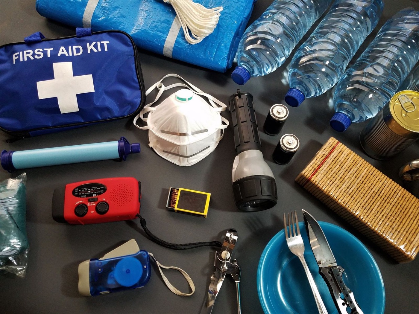
Choose a supply target, calculate water for people, and save a checklist with Houston-area contacts.
STARTING WATER RESERVE
2 people × 7 days × 1 gallon per day
For people only; add pet and individual needs.
Tracks these tasks only, not a safety score. Choices stay in this browser.
The one-gallon-per-person daily water baseline covers drinking and sanitation. Add needs for pets, heat, and your household’s circumstances. Keep water in containers you can store and move safely. See Houston’s supply guidance ↗
Seven days is the starting setting because ReadyHarris recommends a seven-day hurricane supply. Choose another duration to explore the amount you would need. Your checklist stays in this browser; download a copy for use when internet service is unavailable. Harris County hurricane preparation, 2026 ↗
09 / USE THE TOOLS
Choose a month for a short set of tasks. This is an editorial schedule based on local risks, not a weather forecast or an emergency order.
Keep the basics available all year. Move a task earlier if your household, building, or forecast calls for it.
10 / USE THE TOOLS
Select the equipment you want to power, then adjust its watts and daily use. Compare that load with a battery you own or are considering.

| Use | Device | Watts | Hours/day |
|---|
Daily watt-hours = watts × hours, added across selected devices. Usable energy = rated capacity × selected usable percentage. Coverage in days = usable energy ÷ daily watt-hours. The 85% starting value is an editable assumption. Actual results depend on inverter losses, idle consumption, battery age, temperature, and device behavior.
For a Houston outage, check the delivery utility listed on your bill. Your electricity retailer and the company repairing local lines may be different. Use the city’s utility directory to find the correct outage service. City of Houston utility outage resources ↗
11 / USE THE TOOLS
Compare Houston’s long-term solar pattern and estimate the average daily energy from a portable panel.
NASA POWER · 2001–2025
Estimated daily watt-hours = panel watts × monthly equivalent peak-sun-hours × delivered share. The starting 75% share is an editable example. Storm-day output may be far lower; this tool does not verify charging compatibility or promise a full battery each day.
12 / BUILD YOUR EMERGENCY PLAN
Use city and county announcements alongside NWS warnings. Check that alerts will reach you at night and during a power outage.
Sign up for City of Houston emergency notifications by text, email, or voice. Use the enrollment link on the official city page. Set up AlertHouston ↗
Use county announcements for county instructions and local updates. ReadyHarris also offers accessible alerts and multilingual preparation guides. Open ReadyHarris ↗
Keep the leading zero.
These settings are for Harris County, not Houston County, Texas. The local government table also lists Galveston’s KHB40 at 162.550 MHz for Harris County. Test reception at home and follow your receiver’s manual. A radio that can tune NOAA broadcasts does not necessarily have automatic alerts or SAME programming. Local government weather-radio settings ↗
If you live in another county, look up that county’s code instead. Check the NWS weather-radio station and outage information ↗ when choosing a transmitter.
13 / BUILD YOUR EMERGENCY PLAN
Use the service that covers your address. A Houston mailing address does not, by itself, identify your water provider, county, or electricity delivery utility.
Call 911 for an emergency. City service-request lines are not emergency dispatch.
Call 311 or 713-837-0311 for non-emergency city help, including routing water, drainage, and street reports. Houston 311 services ↗
Report a power outage at 800-332-7143 or through the official tracker. Open outage information ↗ · Verify contact details ↗
Call 211 for the Texas assistance network and STEAR registration. Maintain your own support arrangements. Texas emergency assistance registry ↗
Save the county gauge map ↗ and TranStar road map ↗ before a storm. Check the time attached to each update.
Use NWS Houston/Galveston ↗ for warnings, forecasts, and briefings. Read the location and issue time.
14 / UNDERSTAND LOCAL RISKS
These selected events explain why the guide covers several kinds of emergency. They are not a complete storm record or a forecast of your home’s risk.
Harvey brought historic flooding to the Houston region in August. The NWS report documents rainfall and river flooding across Southeast Texas. Planning takeaway: check the streets connecting your home to your destination, not only your building. NWS August 2017 Southeast Texas storm report ↗
The regional winter outbreak disrupted power, travel, and water infrastructure. Planning takeaway: keep drinking water, warm clothing, and an alternate heated destination in the same plan. NWS Southeast Texas 2021 event review ↗
The NWS Houston/Galveston archive documents this damaging wind event. Planning takeaway: keep warning reception and a shelter location ready outside hurricane season. NWS Houston/Galveston event stories ↗
Beryl made its Texas landfall on July 8 and affected Southeast Texas. Planning takeaway: finish core preparations before June and include a cooling destination for the aftermath. NWS Hurricane Beryl event summary ↗
15 / BUILD YOUR EMERGENCY PLAN
Supplies selected for Houston’s local risks and the plans on this page. Start with what you already own.
These are individual products, not a complete emergency kit. Compare capacity, fit and household needs before buying. Cards show the current store catalog; confirm options and availability on the product page.
Browse all emergency supplies →
Set aside drinking water before a storm or freeze interrupts service. Size your reserve using the household plan above.
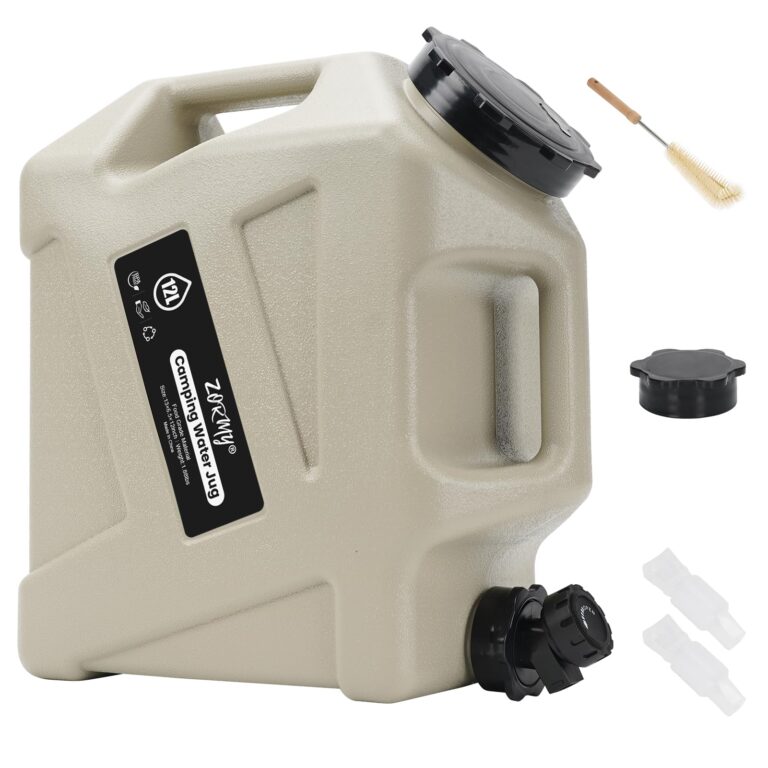

Store and dispense a manageable portion of your household’s water reserve when taps are unavailable.
In stock
$57.95 USD
Choose options & shopListen to local weather broadcasts during outages. This model is not verified for automatic alerts or SAME programming.

 10% off · WINTER10
Receiving information without home internet
5.0 (1)In stock
From $39.95 USD
Choose options & shopKeep small communication devices charged after wind damage. Check device loads against its 155Wh capacity and 150W output.
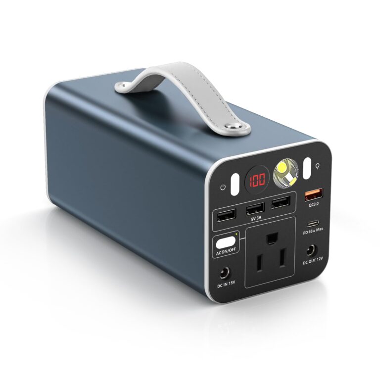

Keep a portable battery reserve for phones, compatible laptops and other small essentials during an outage.
In stock
$179.95 USD
Choose options & shopAn indoor leak alarm can help you notice water near a vulnerable drain or appliance. It does not predict floods or replace evacuation alerts.
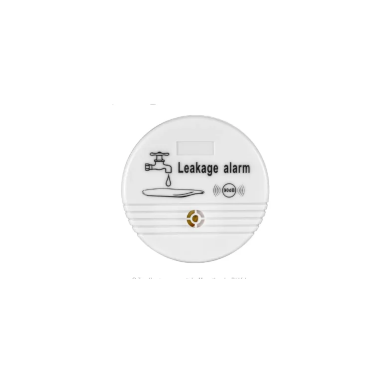

Noticing water near household appliances
In stock
From $17.95 USD
Choose options & shopMonitor refrigerator and freezer temperatures during a prolonged outage. Follow official food-safety advice when deciding what to keep.
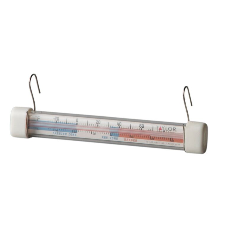

Make checking your refrigerator or freezer temperature part of your household outage plan.
In stock
$17.95 USD
Choose options & shopKeep some food that needs no stove or preparation water for outages. Check calories, ingredients and household dietary needs.

Compact food reserves that need no cooking or preparation water.
In stock
$84.95 USD
Choose options & shopSOURCES AND COVERAGE
Independent Local Prepper guide. Sources reviewed November 2026. City, county, airport, and regional data are labeled separately. No address-level safety assessment or live alert feed is provided.
Houston Intercontinental Airport, station USW00012960; 1991–2020 monthly normals · Checked 2026-11-13
County gauge network; rainfall, water levels, timestamps and optional alerts · Checked 2026-11-13
Harris County; watershed and floodplain tools, not a property safety guarantee · Checked 2026-11-13
Houston region; reported high water, ice and road closures · Checked 2026-11-13
National guidance; avoid driving or walking into floodwater · Checked 2026-11-13
Harris County; emergency announcements, accessible alerts and multilingual guides · Checked 2026-11-13
Published June 1, 2026; June–November season, seven-day supply recommendation and ZIP-zone map · Checked 2026-11-13
2026 regional map linked by ReadyHarris; evacuation planning, not current orders · Checked 2026-11-13
City of Houston; AlertHouston enrollment, household planning and preparedness guides · Checked 2026-11-13
Statewide voluntary registry; registration does not guarantee assistance · Checked 2026-11-13
City of Houston; heat preparation and linked cooling-center map · Checked 2026-11-13
City of Houston; freeze preparations, warming resources and road guidance · Checked 2026-11-13
Regional archive including May 16, 2024 derecho and July 2024 Beryl · Checked 2026-11-13
National guidance; shelter in sturdy buildings and away from windows · Checked 2026-11-13
Regional February freeze, ice, outages and broken pipes; not neighborhood-level risk · Checked 2026-11-13
Historical Harvey rainfall and flood impacts across Southeast Texas · Checked 2026-11-13
July 8, 2024 Texas landfall and Southeast Texas impacts · Checked 2026-11-13
CenterPoint Houston electric service area; tracker and reporting instructions · Checked 2026-11-13
City utility-regulation directory; identify your actual electricity delivery provider · Checked 2026-11-13
Houston-area service contacts; verify provider on your bill · Checked 2026-11-13
City of Houston non-emergency service requests; 311 or 713-837-0311 · Checked 2026-11-13
Dickinson emergency management table lists Harris County code 048201 and Tomball KGG68 at 162.400 MHz · Checked 2026-11-13
Grid at 29.7604, −95.3698; January 2001–December 2025 averages · Checked 2026-11-13
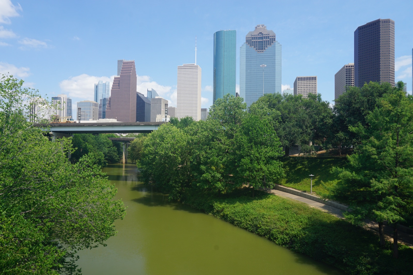
Photo: Downtown Houston skyline from the west by David Daniel Turner, September 2018. CC BY 4.0. Display cropped.

