

Before the season
Check your zone and destination, arrange transport, and review shutters or other building preparations with your landlord or association. Spread supply purchases across ordinary shopping trips.
MIAMI EMERGENCY PREPAREDNESS GUIDE
Prepare for hurricanes, flooding, extreme heat, and power outages. Find your evacuation resources, explore local weather patterns, and build a household plan.
Miami-Dade County · Florida
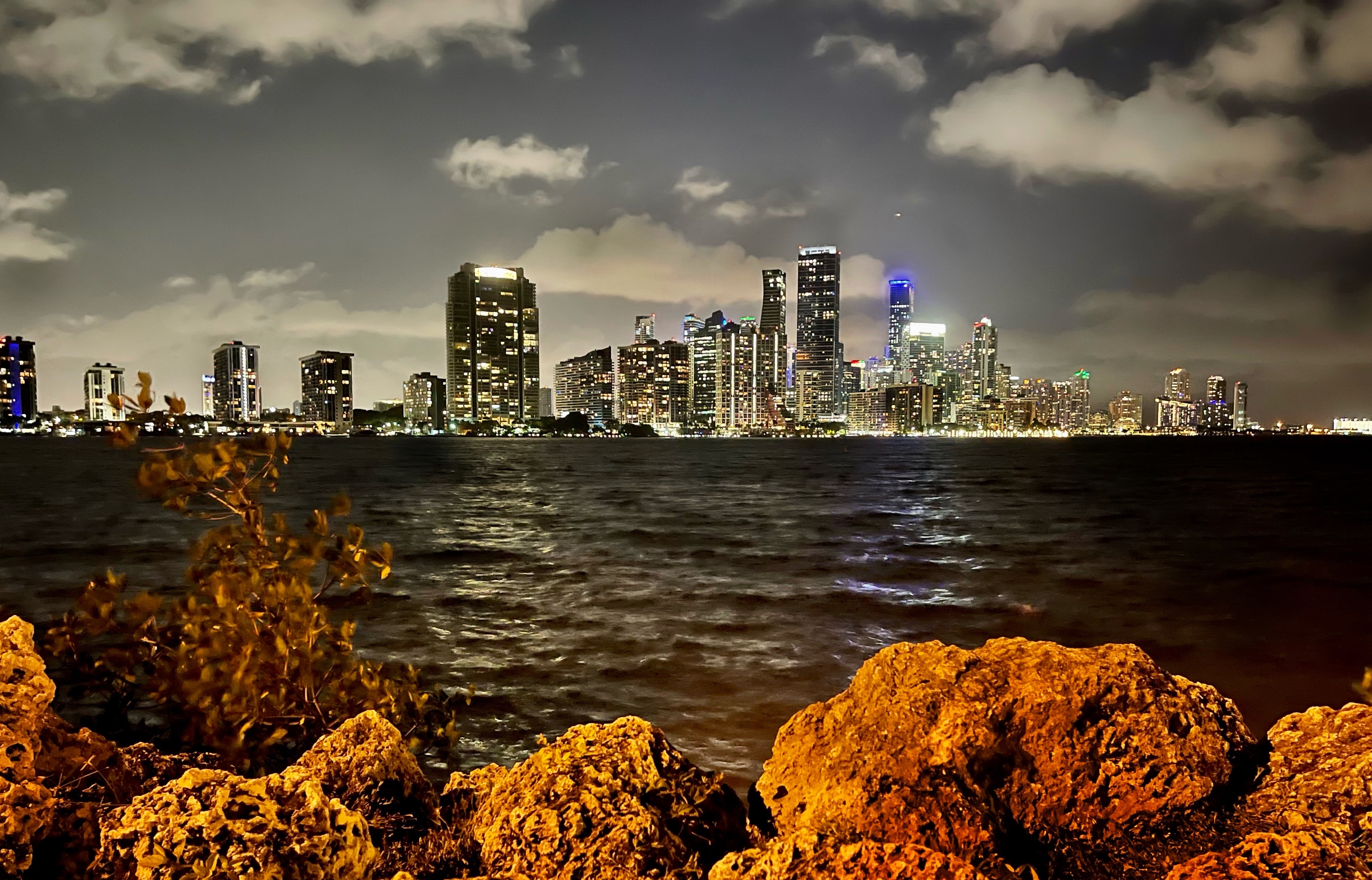
For the City of Miami, with clearly labeled Miami-Dade County resources. Miami Beach and other municipalities have separate local services. Historical data and planning tools; check official sources for current conditions.
View sources ↗CHOOSE A STARTING POINT
01 / UNDERSTAND LOCAL RISKS
Explore airport averages for rainfall, temperature, and days reaching 90°F. Use the patterns to prepare ahead of time; they do not predict this year’s weather.
Miami International Airport · NOAA 1991–2020
Monthly averages, not a forecast. Rainfall includes the water equivalent of precipitation. Days reaching 90°F are not heat-index days.
| Month | High °F | Low °F | Rain inches | Days ≥90°F |
|---|---|---|---|---|
| January | 76.2 | 61 | 1.83 | 0 |
| February | 78.2 | 63.2 | 2.15 | 0 |
| March | 80.6 | 65.6 | 2.46 | 0.8 |
| April | 83.6 | 69.8 | 3.36 | 2.1 |
| May | 86.7 | 73.4 | 6.32 | 6 |
| June | 89.3 | 76.3 | 10.51 | 15.2 |
| July | 90.6 | 77.5 | 7.36 | 23.8 |
| August | 90.7 | 77.7 | 9.58 | 24.7 |
| September | 89 | 76.9 | 10.22 | 14.8 |
| October | 85.9 | 74.2 | 7.65 | 4 |
| November | 81.3 | 68.3 | 3.53 | 0.1 |
| December | 78.2 | 64.3 | 2.44 | 0 |
02 / UNDERSTAND LOCAL RISKS
Use the seasonal calendar to schedule preparation. Check official forecasts and evacuation instructions whenever a storm threatens.
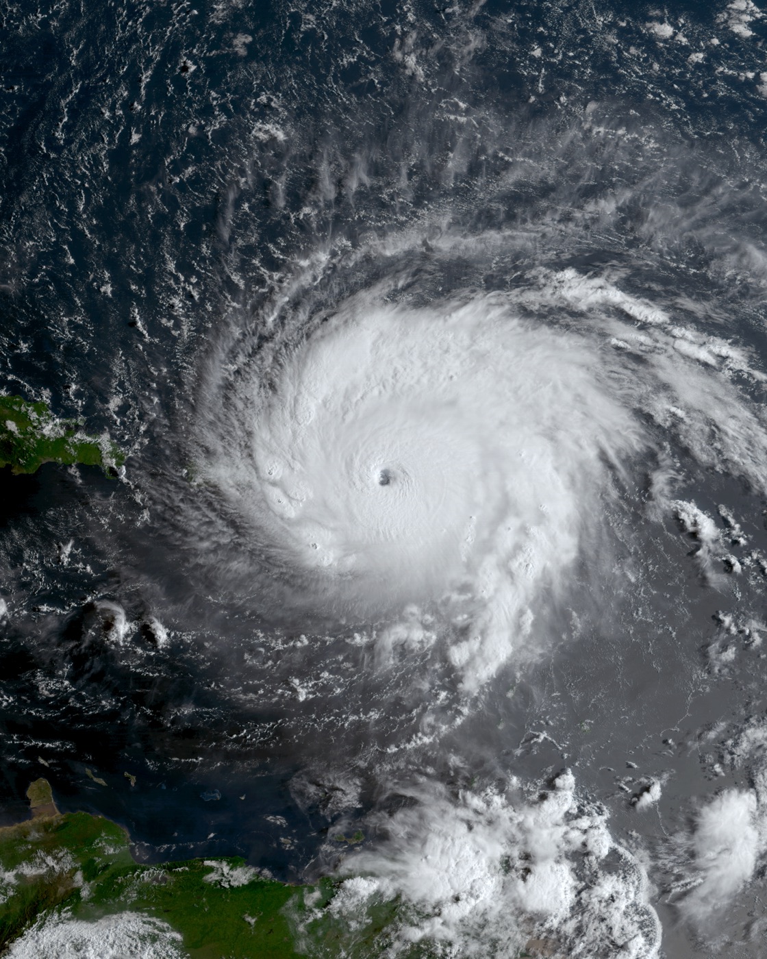
The Atlantic season runs June 1–November 30. Most basin activity occurs from mid-August through mid-October, with a climatological peak around September 10. Storms can occur outside the official season. These dates describe the Atlantic basin, not the odds of a storm striking Miami.
NHC hurricane-season climatology ↗
Check your zone and destination, arrange transport, and review shutters or other building preparations with your landlord or association. Spread supply purchases across ordinary shopping trips.
Read the latest official forecast and county instructions. Confirm your destination and transport, charge devices, and keep documents and essential supplies ready to take.
Follow the timing and area specified by local officials. Do not wait for conditions outside your window to determine whether to leave.
Official updates: National Hurricane Center ↗ · Miami-Dade emergency updates ↗
03 / UNDERSTAND LOCAL RISKS
Check the address of your home and your planned destination in the county’s official tools. A Miami mailing address alone cannot establish a zone.
Open the county’s zone-finder and evacuation instructions ↗
Miami-Dade uses zones A–E to plan for coastal inundation. Orders can cover a whole zone or only part of it. The storm’s track and projected surge affect decisions.
A flood-hazard designation answers a different question. Check property-specific flood information separately; a surge zone is not a substitute for a flood map.
Being outside a surge zone does not establish that your building is safe. Discuss wind protection, stairs, accessibility, and loss of services with building management.
Miami-Dade storm surge planning zones ↗
The county encourages a safe inland destination with family or friends outside the evacuation area. Emergency centers are a last resort, and not every listed center opens for every event. Check county announcements or call 311 for open locations and activated bus pickup sites. Confirm pet arrangements; service animals are allowed at all evacuation centers.
County evacuation instructions ↗
The county’s EEAP supports eligible residents who need specialized transportation or sheltering. Apply in advance: registration closes before an evacuation order. A caregiver or companion must accompany the evacuee. Applications are available in English, Spanish, and Haitian Creole. Contact the program at 305-513-7700 to discuss eligibility and update an existing registration.
04 / UNDERSTAND LOCAL RISKS
Separate storm surge from rainfall flooding when you review your property and routes.
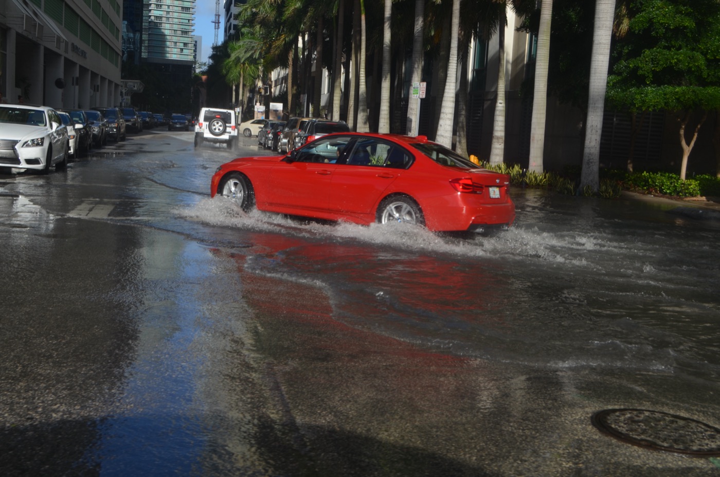
Use the City of Miami’s flood-information resources and FEMA’s address lookup before making property decisions. Record the map date and discuss building-specific questions with the city or a qualified professional. A citywide chart cannot determine water depth at your home.
City of Miami flood information ↗ · FEMA Flood Map Service Center ↗
Consider entrances, parking areas, ground-floor storage, and the roads you need to reach your destination. Identify another route in ordinary conditions.
Ask how water, elevators, access controls, and garage access operate during a power outage. Keep a way to leave that fits everyone’s mobility needs.
Check current road conditions and local closures before leaving. Do not treat a familiar route as usable after flooding.
05 / UNDERSTAND LOCAL RISKS
A charged phone and a small battery help with communication. Your plan also needs somewhere to go if your home becomes too hot.
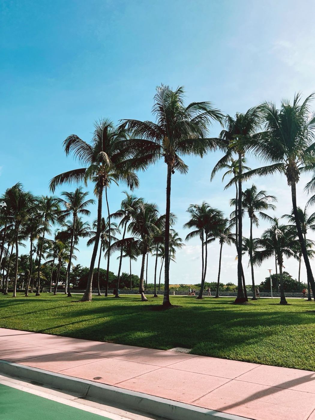
The City of Miami’s heat plan identifies May 1–October 31 as Heat Season. Airport averages are only a planning reference; indoor conditions and humidity can change the experience substantially.
City of Miami extreme heat plan ↗
Use the county’s directory to find cooling sites near home or work. Confirm today’s hours, access, and transport before traveling. A cooling site is not automatically an overnight emergency shelter.
Write down a destination with dependable cooling and a backup option. Discuss transport with someone who can help if elevators, your vehicle, or transit are unavailable.
Plan with household members who rely on electricity or need help leaving. Arrange medical backup requirements with their care team; the battery tool below is not a medical power plan.
06 / BUILD YOUR EMERGENCY PLAN
Enter your household size, preparation period, and housing situation. Save your checklist on this device and download a copy to keep offline.
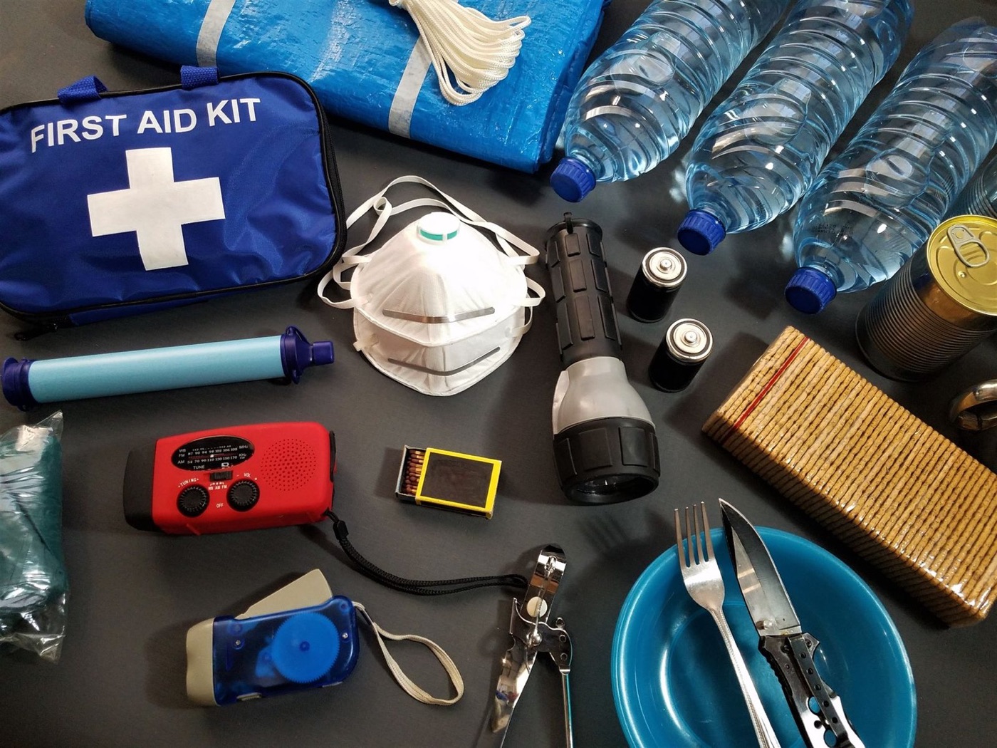
STARTING WATER RESERVE
2 people × 7 days × 1 gallon per day
For people only; add pet and individual needs.
Tracks these tasks only, not a safety score. Choices stay in this browser.
07 / BUILD YOUR EMERGENCY PLAN
Choose a month for three practical tasks. These are Local Prepper’s suggested maintenance tasks, not a forecast or an official alert.
08 / USE THE TOOLS
Select example devices and adjust their watts and daily use. Compare the result with your battery’s rated capacity.
| Use | Device | Watts | Hours/day |
|---|
Daily watt-hours = watts × hours, added across selected devices. Usable energy = rated capacity × selected usable percentage. Coverage in days = usable energy ÷ daily watt-hours. The 85% starting value is an editable assumption. Actual results depend on inverter losses, idle consumption, battery age, temperature, and device behavior.
09 / USE THE TOOLS
Explore Miami’s long-term solar pattern, then enter panel size to estimate average daily energy.
NASA POWER · 2001–2025
Estimated Wh per average day = panel watts × monthly equivalent peak-sun-hours × delivered share. The starting 75% share is an illustrative loss allowance. This does not verify panel-to-battery compatibility or guarantee recharging during an outage.
10 / USE THE TOOLS
Use official local alerts alongside a warning method that can work when your phone is unavailable.
Text ALERTMIAMI to 888777 or use the city’s enrollment information. This is the City of Miami service; neighboring municipalities have their own programs. City of Miami emergency management ↗
Use county emergency announcements for evacuation orders, center openings, and countywide instructions. County emergency updates ↗
Keep the leading zero.
NWS also lists the Spanish-language station WZ2531 at 162.500 MHz and Princeton WNG663 at 162.425 MHz. Test reception where you will keep the receiver. For a SAME-capable radio, follow its manual to enter the county code and enable the desired alerts. A radio that receives weather broadcasts does not necessarily support automatic alerts.
11 / BUILD YOUR EMERGENCY PLAN
Use the provider listed on your bill. These are contact resources, not a live outage feed.
Call 911 for an emergency.
Report outages or check status: 800-468-8243. Open FPL contact and outage resources ↗
Emergency Communications Center: 305-274-9272. Verify county contacts ↗
Call 311 or 305-468-5900. Use county announcements to confirm which evacuation centers are open.
Published office number: 305-468-5400. This is not emergency dispatch.
NWS Miami / South Florida ↗ and National Hurricane Center ↗. Check the forecast location and issue time.
12 / UNDERSTAND LOCAL RISKS
Historical events explain why preparation matters. They do not predict the next storm’s route or effects.
Andrew reached south Miami-Dade before dawn on August 24, 1992. The NWS account documents severe destruction in the southern part of the county, including Homestead. Those locations should not be confused with downtown Miami.
For your household, the practical task is to identify a building and destination suitable for the threat, not to assume a previous storm’s experience will repeat.
13 / USE THE TOOLS
Supplies selected for Miami’s local risks and the plans on this page. Start with what you already own.
These are individual products, not a complete emergency kit. Compare capacity, fit and household needs before buying. Cards show the current store catalog; confirm options and availability on the product page.
Browse all emergency supplies →
Store drinking water before a hurricane disrupts service. Use the household calculator to work out how many containers you need.
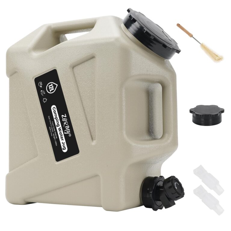

Store and dispense a manageable portion of your household’s water reserve when taps are unavailable.
In stock
$57.95 USD
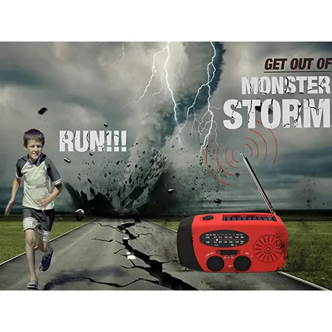
Choose options & shopListen to local weather broadcasts if phone service fails. This model is not verified for automatic alerts or SAME programming.
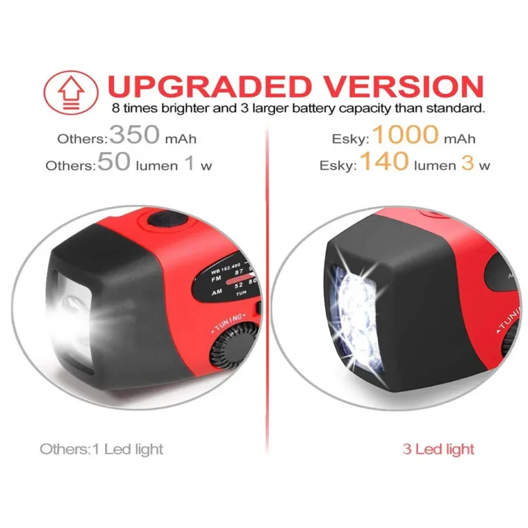
 10% off · WINTER10
Receiving information without home internet
5.0 (1)In stock
From $39.95 USD
Choose options & shopCharge small devices during a storm outage. Check the 155Wh capacity and 150W output against your actual devices; this is not an air-conditioning backup.
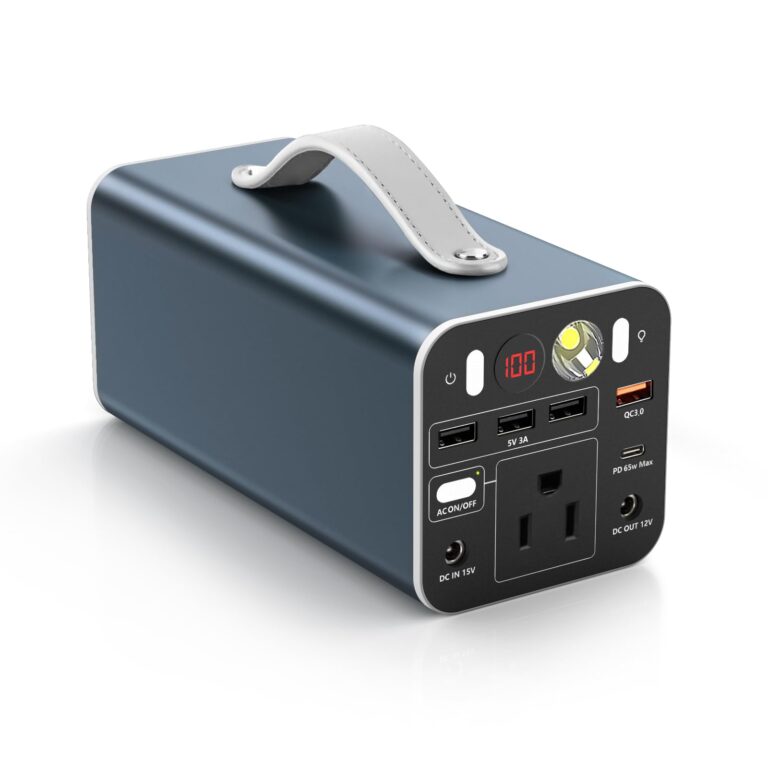

Keep a portable battery reserve for phones, compatible laptops and other small essentials during an outage.
In stock
$179.95 USD
Choose options & shopKeep copies of evacuation contacts and important documents together. This bag has no verified flood- or fire-protection rating.
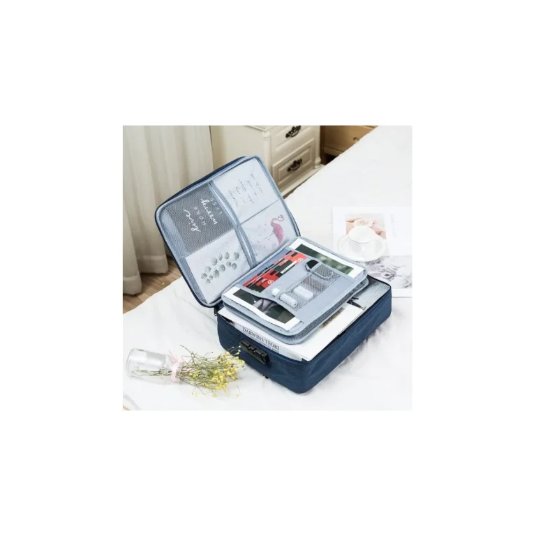
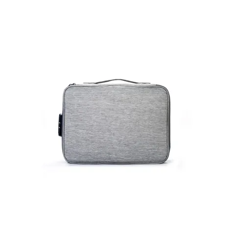
Keeping larger documents together
In stock
$31.95 USD
Choose options & shopKeep your hands free while packing or moving around a dark home. Charge it before storm conditions arrive.
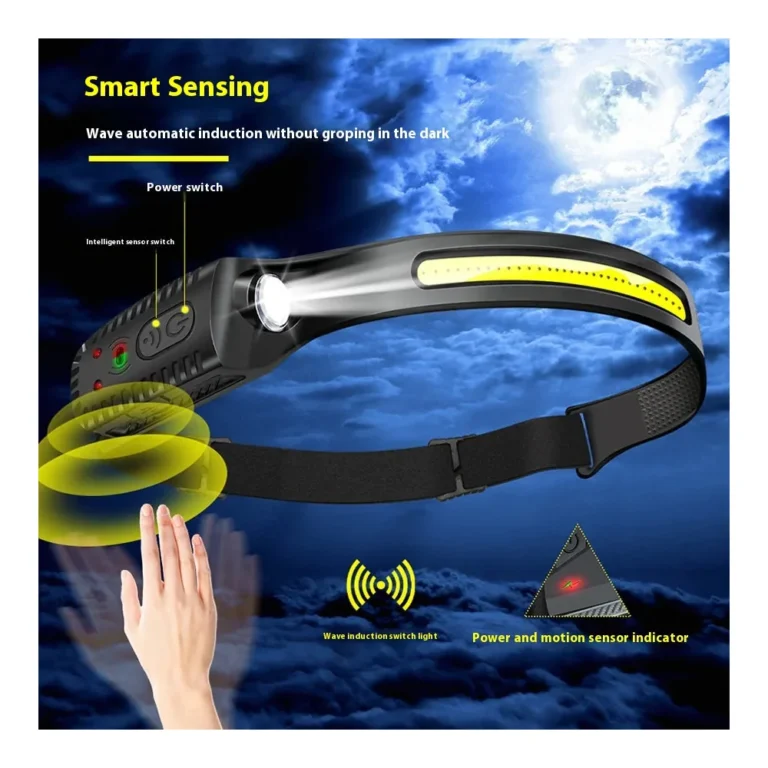
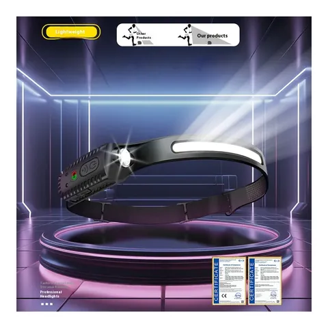 10% off · WINTER10
Keeping your hands free
5.0 (1)In stock
$18.95 USD
Choose options & shopPack bowls with your pet food, water, leash and carrier before an evacuation. Bowls do not include a water supply.

 10% off · WINTER10
Serving pet food and water
In stock
$25.95 USD
Choose options & shopSOURCES AND COVERAGE
Independent Local Prepper guide. Sources reviewed November 2026. City, county, airport, and regional data are labeled separately. No address-level safety assessment or live alert feed is provided.
Miami International Airport; 1991–2020 monthly normals · Checked 2026-11-13
Atlantic basin; seasonal timing, not Miami landfall probability · Checked 2026-11-13
Miami-Dade County; A–E planning zones · Checked 2026-11-13
Miami-Dade County; verify active orders and center openings · Checked 2026-11-13
Miami-Dade County; eligibility and advance registration · Checked 2026-11-13
City of Miami; heat season May–October · Checked 2026-11-13
Countywide directory; hours and availability can change · Checked 2026-11-13
City of Miami; ALERTMIAMI enrollment · Checked 2026-11-13
County contact center, water/sewer and emergency management · Checked 2026-11-13
FPL customers; verify the provider on your bill · Checked 2026-11-13
Miami-Dade county code and South Florida transmitters · Checked 2026-11-13
Statewide; seven-day supplies and water baseline · Checked 2026-11-13
South Miami-Dade County; August 24, 1992 · Checked 2026-11-13
City of Miami; property flood information · Checked 2026-11-13
Grid at 25.7617, −80.1918; 2001–2025 averages · Checked 2026-11-13
Photo: Downtown Miami from Key Biscayne by Rob Olivera, November 2020. CC BY 2.0. Display cropped.

