Coast and valleys differ
The chart uses LAX. Do not use its typical highs to judge conditions in the San Fernando Valley.
LOS ANGELES EMERGENCY PREPAREDNESS GUIDE
Prepare for earthquakes, wildfire evacuations, extreme heat and heavy rain. Use local resources, monthly weather charts and tools to make a household plan.
Los Angeles County · California

This guide covers the City of Los Angeles. LAX is a coastal weather station; inland valleys and hills can be much hotter. Countywide resources also serve other cities. Historical data and planning tools; check official sources for current conditions.
View sources ↗CHOOSE A STARTING POINT
01 / UNDERSTAND LOCAL RISKS
Compare coastal temperatures and rainfall through the year. Use a neighborhood forecast for decisions about inland heat or hillside conditions.
Los Angeles International Airport · NOAA 1991–2020
Monthly averages, not a forecast. Rainfall includes the water equivalent of precipitation. Days reaching 90°F are not heat-index days.
| Month | High °F | Low °F | Rain inches | Days ≥90°F |
|---|---|---|---|---|
| January | 66.3 | 49.4 | 2.86 | 0 |
| February | 65.6 | 50.1 | 2.99 | 0 |
| March | 66.1 | 52.2 | 1.73 | 0 |
| April | 68.1 | 54.2 | 0.6 | 0.3 |
| May | 69.5 | 57.6 | 0.28 | 0.3 |
| June | 72 | 60.9 | 0.08 | 0.1 |
| July | 75.1 | 64 | 0.04 | 0.1 |
| August | 76.7 | 64.8 | 0 | 0.5 |
| September | 76.5 | 63.7 | 0.11 | 0.9 |
| October | 74.4 | 59.8 | 0.49 | 1.8 |
| November | 70.9 | 53.7 | 0.82 | 0.7 |
| December | 66.1 | 49.1 | 2.23 | 0 |
The chart uses LAX. Do not use its typical highs to judge conditions in the San Fernando Valley.
Check the monthly rainfall bars, then plan drainage checks before storms. A monthly average does not show a single storm’s intensity.
Keep earthquake preparations in place year-round; a weather chart cannot indicate when shaking will occur.
02 / UNDERSTAND LOCAL RISKS
Choose places to take cover and reduce hazards around beds, desks and exits before an earthquake happens.
Check tall furniture, televisions and heavy objects. Follow manufacturer instructions and get appropriate help with anchoring.
Use the USGS guidance to practice dropping, taking cover and holding on. Plan how each household member will protect themselves.
Keep shoes, a light and emergency contacts accessible. Expect that transport, water or power may be interrupted; avoid damaged structures.
Read earthquake safety guidance ↗ · Use ReadyLA planning resources ↗
03 / UNDERSTAND LOCAL RISKS
Hillside homes need an evacuation plan, and smoke or outages can affect people much farther from the flames.
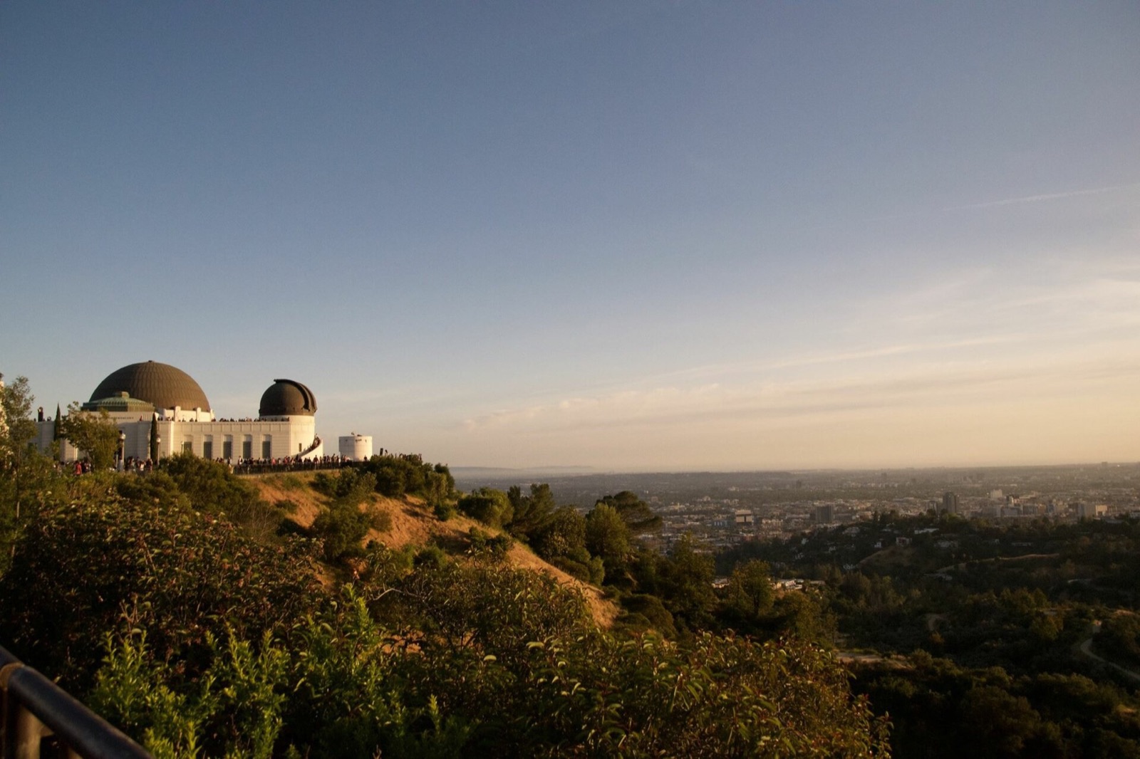
Review LAFD’s brush-clearance and home-preparation guidance for your property. Keep your bag, medication list and pet supplies accessible. If you rent, ask management who handles vegetation, building notices and evacuation access.
Santa Ana winds are most common from September through May. Fire danger is not limited to a summer season.
Check AirNow for air-quality information. Follow public-health advice and plan where to go if indoor air becomes unsuitable.
A smoke map and a red-flag weather warning are not evacuation orders. Use official city alerts and the zone information linked below.
Read LAFD wildfire guidance ↗ · Understand Santa Ana winds ↗ · Check smoke and air quality ↗
04 / UNDERSTAND LOCAL RISKS
LAFD links to Genasys Protect for official, zone-based evacuation information. Save the zone for home and other places you use regularly.
Open the zone lookup through the LAFD page and note the zone identifier. Register for NotifyLA as well.
Arrange somewhere outside the threatened area and a backup. Include pets, mobility needs and a way to communicate.
Follow the routes and timing given for the incident. If you need extra time, plan an earlier departure; do not wait to pack.
Find the official evacuation-zone lookup ↗ · Review evacuation preparation ↗
05 / UNDERSTAND LOCAL RISKS
A coastal breeze at LAX does not mean conditions are comfortable inland. Use the city’s current cooling resources when heat builds.
Choose an air-conditioned destination and a backup before cooling fails at home. Libraries offer cooling during their regular opening hours, and the city announces additional centers during extended heat. Confirm the site’s hours and access before leaving.
For apartment households, ask how a power failure affects elevators and common areas. Agree on a check-in plan with someone nearby and arrange transport if walking or stairs would be difficult.
06 / UNDERSTAND LOCAL RISKS
Winter rain can create a different problem from wildfire. Check local instructions before storms, especially around slopes and previously burned terrain.
Review drainage around doors and outdoor stairs while conditions are dry. Ask your property manager about known entry points and required repairs. Save the city’s rain resources and watch for local closures and evacuation notices.
07 / BUILD YOUR EMERGENCY PLAN
Choose your household size, supply duration and housing type. Save a checklist and download local contacts with your plan.
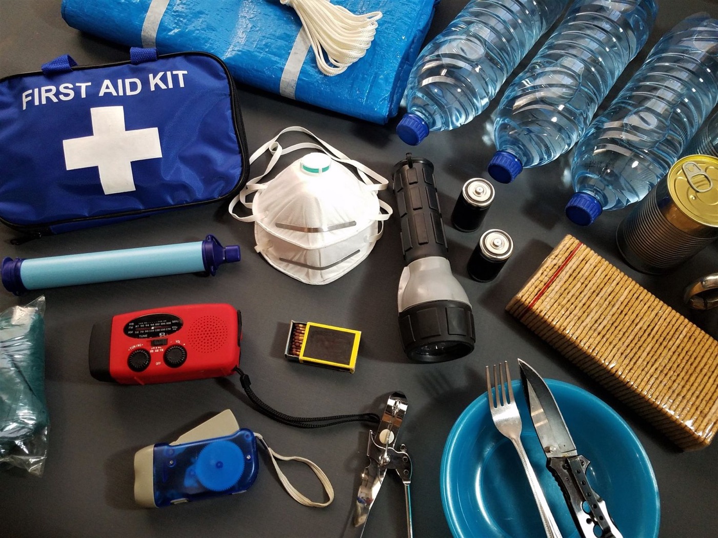
STARTING WATER RESERVE
2 people × 7 days × 1 gallon per day
For people only; add pet and individual needs.
Tracks these tasks only, not a safety score. Choices stay in this browser.
The seven-day setting is a planning scenario. Start with at least one gallon of water per person per day; increase it for heat, pets and individual needs. Read water-storage guidance ↗
Keep a portable bag separate from your home reserve. Add medication instructions, accessibility needs and meeting places to the downloaded worksheet. The checklist tracks tasks you mark; it does not measure whether your home is safe.
08 / BUILD YOUR EMERGENCY PLAN
Choose a month for three practical tasks. These are suggested reminders, not a forecast or a restriction on when hazards can happen.
09 / USE THE TOOLS
Use the power label on each device. This calculator estimates energy use; it does not check electrical compatibility.
| Use | Device | Watts | Hours/day |
|---|
Watts × hours gives daily watt-hours. Battery capacity × usable percentage gives estimated usable energy. Actual runtime also depends on starting surges, inverter limits, battery condition and temperature.
10 / USE THE TOOLS
Compare the seasons before relying on a portable panel for backup charging.
NASA POWER · 2001–2025
The estimate uses monthly average sunlight on a horizontal surface: panel watts × daily irradiation × the percentage retained after losses. It is an approximate daily energy budget, not guaranteed output during a storm.
Shade, nearby buildings, panel angle, temperature and charging limits change the result. Check that the panel and battery are compatible. View the underlying NASA grid data ↗
11 / BUILD YOUR EMERGENCY PLAN
Use local alerts and a second information source. Test reception and batteries before you need them.
Keep the leading zero.
Local NOAA broadcast · Verify reception where you will use the radio. Radio setup source ↗
SAME filters county alerts on compatible receivers. A basic weather-band radio may only play broadcasts when switched on. Check the model before relying on automatic warnings; the county code does not identify your evacuation zone.
12 / BUILD YOUR EMERGENCY PLAN
Put these links and numbers in your phone and keep a paper copy. Check your utility bill to confirm the correct provider.
Call 911 for immediate danger.
Power or water outage: 800-342-5397. View outage resources ↗
Check city cooling resources ↗ and confirm current hours.
13 / UNDERSTAND LOCAL RISKS
These examples show how different emergencies affect everyday life. They are not a forecast or an estimate of your address’s risk.
The January 17 earthquake had magnitude 6.7. Planning lesson: keep room safety and a household communication plan ready throughout the year. View the USGS record ↗
The Palisades Fire began on January 7 in Pacific Palisades. Planning lesson: know your zone and arrange transport before an emergency starts. Read the official incident record ↗
14 / BUILD YOUR EMERGENCY PLAN
Supplies selected for Los Angeles’s local risks and the plans on this page. Start with what you already own.
These are individual products, not a complete emergency kit. Compare capacity, fit and household needs before buying. Cards show the current store catalog; confirm options and availability on the product page.
Browse all emergency supplies →
Compare these restraints when securing compatible furniture. Verify installation and suitability for your wall; no earthquake-performance rating is documented.


Helping secure suitable furniture
In stock
$32.95 USD
Choose options & shopKeep a hands-free light accessible for a dark room or a packed evacuation bag. Charge it regularly.
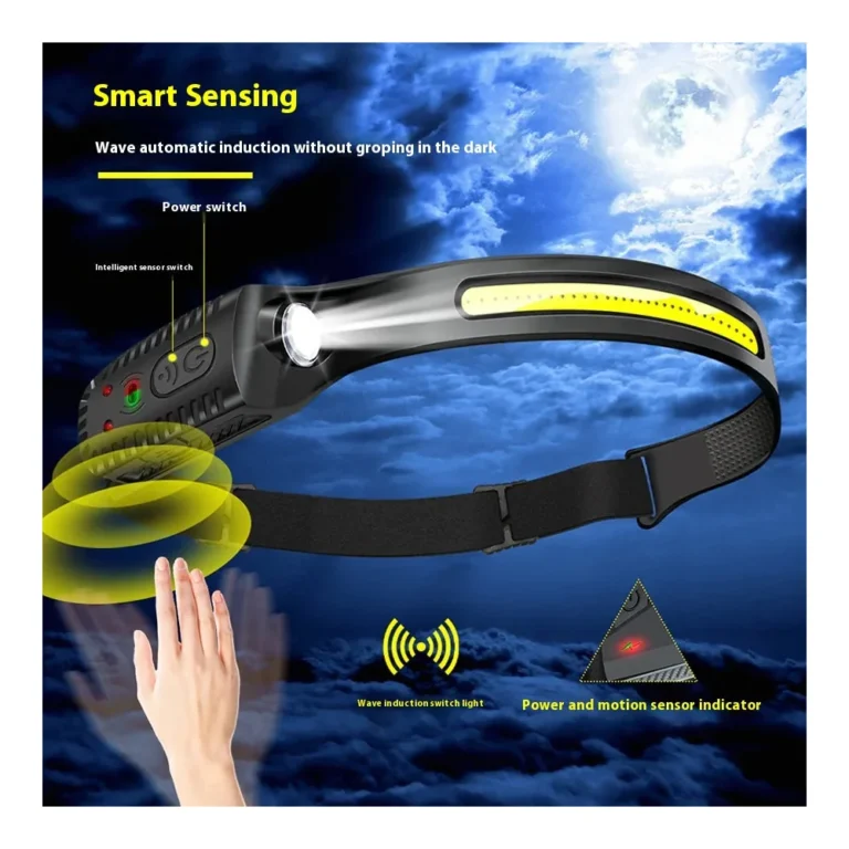
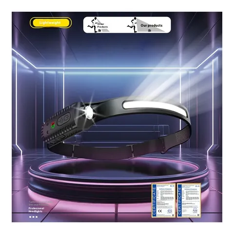 10% off · WINTER10
Keeping your hands free
5.0 (1)In stock
$18.95 USD
Choose options & shopOrganize portable evacuation supplies in a bag you can carry. This backpack is empty; food, water and other contents are separate.
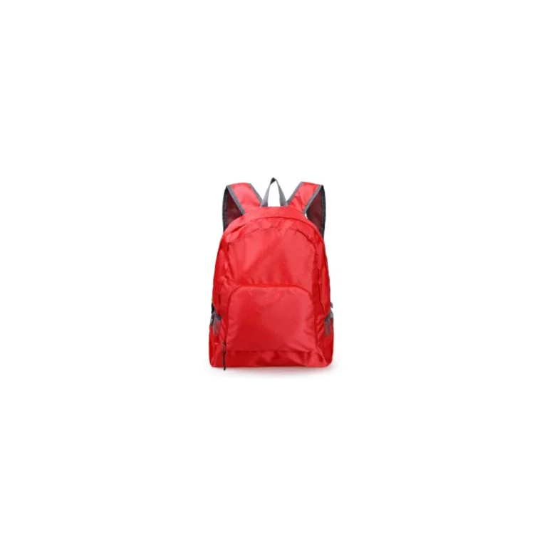
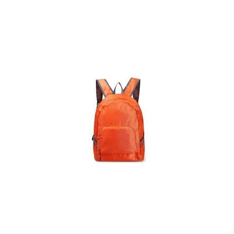
Carrying essentials during planned evacuation
In stock
$20.95 USD
Choose options & shopKeep copies of evacuation contacts and essential documents together. This bag has no verified fire- or flood-protection rating.
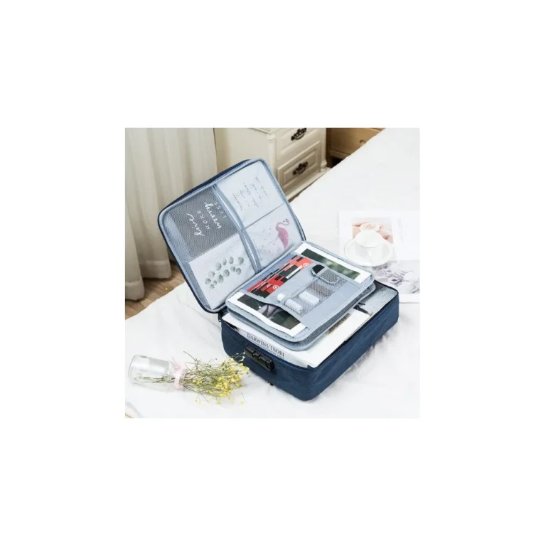
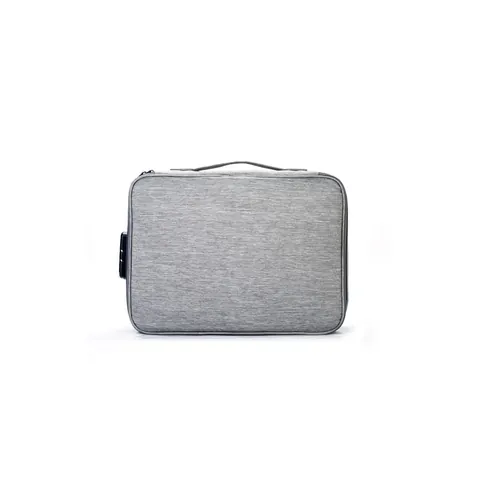
Keeping larger documents together
In stock
$31.95 USD
Choose options & shopKeep basic first-aid supplies accessible after a disruption. Review kit contents, allergies and expiry dates before relying on it.
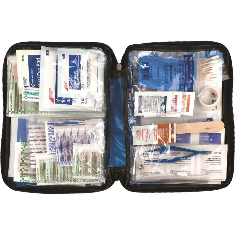
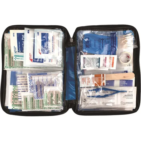 10% off · WINTER10
Keeping first-aid supplies together
In stock
$42.95 USD
Choose options & shopStore drinking water for service interruptions after shaking or another emergency. Use the calculator to size the household reserve.
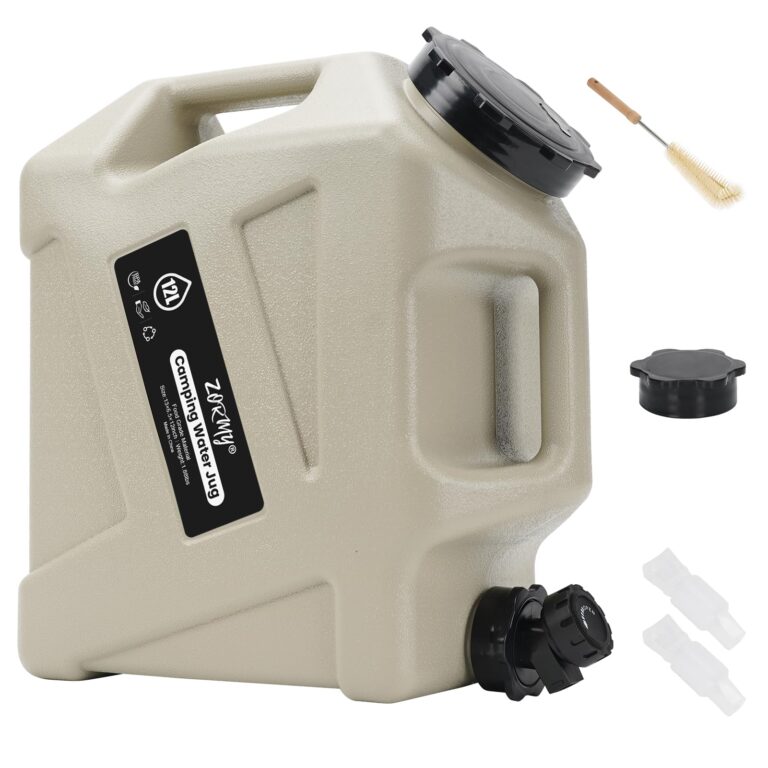

Store and dispense a manageable portion of your household’s water reserve when taps are unavailable.
In stock
$57.95 USD
Choose options & shopSOURCES AND COVERAGE
Independent Local Prepper guide. Sources reviewed November 2026. City, county, airport, and regional data are labeled separately. No address-level safety assessment or live alert feed is provided.
Los Angeles International Airport, station USW00023174; 1991–2020 monthly station averages, not neighborhood measurements · Checked 2026-11-13
Grid near 34.0522, -118.2437; January 2001–December 2025 monthly daily irradiation averages · Checked 2026-11-13
National household water-storage guidance; increase amounts for heat, pets and individual needs · Checked 2026-11-13
City household, neighborhood and accessibility planning resources · Checked 2026-11-13
City location-based emergency notices and evacuation messages · Checked 2026-11-13
City wildfire preparation and official link to Genasys Protect zone lookup · Checked 2026-11-13
Early departure planning, household essentials and evacuation instructions · Checked 2026-11-13
City earthquake, wildfire, flood and heat information · Checked 2026-11-13
City cooling-center announcements and library cooling during opening hours · Checked 2026-11-13
Power and water outage maps; 800-342-5397 emergency/outage line · Checked 2026-11-13
Southern California downslope winds; most common September–May · Checked 2026-11-13
LA County SAME 006037; local school emergency-management setup reference · Checked 2026-11-13
January 17, 1994 magnitude 6.7 earthquake; historical event, not a prediction · Checked 2026-11-13
Official incident record for the fire that began January 7, 2025 in Pacific Palisades · Checked 2026-11-13
National guidance on protecting yourself during shaking · Checked 2026-11-13
City rain and storm-preparation resources · Checked 2026-11-13
EPA and US Forest Service air-quality and smoke information; not an evacuation map · Checked 2026-11-13
Photo: LosAngelesSkyline.png by FirstNameLastName7, 2018-02-10. CC BY-SA 4.0. Display cropped.

